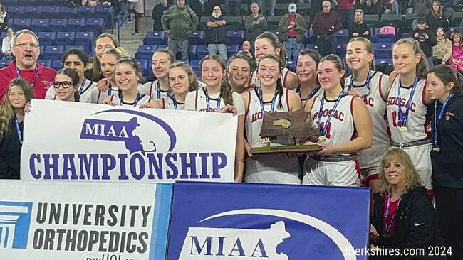
BNRC Releases Plan For Countywide Hiking Trail Network
PITTSFIELD, Mass. — The Berkshire Natural Resources Council envisions a day when one can walk through a network of trails to each and every town in the Berkshires.
The organization has been working for the last couple years to do just that. The organization has raised $4.25 million toward the creation and maintenance of such a network.
"It is sort of a counterpart to the Appalachian Trail," President Tad Ames said, explaining that the network will allow someone to travel on foot the length of Berkshire County, stopping in at towns, staying a local hotels, while not having to carry food for a long trip.
The concept is something that's been done in Europe for many years. The idea is inspired by the Coast to Coast trail in England or the Camino de Santiago in Spain.
The concept of doing that here was placed in Ames' head back in 2009 when one of the organization's supporters suggested it. The organization has been creating trail networks and conserving lands for years and in Sandisfield, along the Clam River, the organization owned three large properties but they were separated by one parcel. In 2012 that property went on the market and the organization jumped on it and created a large two-miles of greenway and connected with state-owned conservation land.
Ames and the organization then built on that, wondering if it would be possible to have a full connection across the Berkshires. The next year, they began looking at maps, working with the state and other conservation organizations, and have crafted a plan for it.
There are specific pieces of property the group is targeting and they've determined all of the best links toward making it happen. The organization hopes to get access to those "missing pieces" of what is now a patchwork array of trails throughout the county to connect the various areas.
"The vision is reachable," Ames said. "This will be built out in legs."
The group set a goal of raising $5 million in total. Half of that will go toward buying land or easements, another $2 million for long-term stewardship and maintenance of the trails, and $500,000 is eyed for creasing the new trails and trail heads. The group will create maps, mark the trails with signage, and hopes to get the hospitality industry on board to help market and create offers around the network.
"We envision a 100 percent walkable Berkshires," Ames said. "That doesn't mean we walk on every square inch - it means we want to give someone the chance to walk from Williamstown to Sandisfield with options to stop at every interested and refreshing place along the way."
Dubbed "The High Road" the future trail connection takes the relationship between BNRC and other conservation organizations to a new level, Ames said. It takes it to a level of "reciprocal management."
"It has been a very healthy process," Ames said of his conversations with other groups.
The entire trail will be focused solely for hikers but other conservation groups will have their own goals. So, at some sections there may be restrictions on bicycle use or hunting and in others there may not be. But, Ames hopes to link with trails that have various uses - including even the Ashuwilticook Rail Trail.
"I think there is a lot of room for us to share land," Ames said of the various modes of transportation and usage of conservation land.
The group is looking to use "as much natural open space as we can" while acknowledging there maybe a few portions in which a hiker will need to take a town road to connect to the next portion. Ames said the plans won't be sending massive amounts of people through resident's backyards, but rather those connections would likely be on small dirt or gravel roads.
Ames said the creation of the entire network "will be an ongoing project for many years" but the organization is ready to roll out the first phase in the coming year.
"We are on the brink of, in a year of so, opening some significant legs," Ames said. "We are ready to create these ways through."
The network, when completed, will give hikers the opportunity to take small, short hikes on a section easily, while also providing the opportunity for a multi-day hike.
"Natural beauty, amazing economy, and outdoor recreation are the Berkshires' great inherent gifts," Ames said. "We want to see a health economy and a healthy environment working together, now and forever. The High Road is a pathway to that vision."