National Weather Service Issues Winter Weather Advisory
|
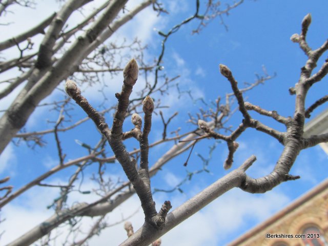
Sleet and freezing rain are in the forecast but the buds on the trees show warmer, greener weather's not far off. |
PITTSFIELD, Mass. — Winter isn't over quite yet.
The National Weather Service has issued a winter weather advisory from 10 p.m. Thursday until noon on Friday.
The Albany, N.Y., bureau is predicting sleet accumulations up to a half of an inch and ice of one-tenth to one-third of a inch. The greatest accumulation will be in the higher elevations across Southern Vermont and in the Berkshires.
The sleety mix is still better than the blizzard the same storm system dumped on the Plains earlier this week. The mix of warm and cold air smashing over the New England could also bring thunderstorms in some locations.
The precipitation is expected to start as a mix of rain and sleet Thursday afternoon and turn to freezing rain overnight. The freezing rain is expected to create hazardous driving and walking. Friday afternoon it will change to rain.
Winds are expected at 10 to 20 miles per hour with gusts up to 35. Temperatures will fall into the lower 30s overnight.
Temperatures will be in the low 50s over the weekend but the skies will be cloudy and drizzly.
This lingering winter is far cry from last year, which saw record-breaking highs across the Northeast.
Accuweather notes record temperatures began around the middle of March 2012 and continued for much of the month and, according to the National Climatic Data Center, more than 7,500 record highs were broken across the U.S.
On April 16 last year, highs here were in the 80s, although the region saw drops to average temperatures in between highs.
This year, the jet stream has been so far south, the entire Atlantic states and Midwest have been bundled against a winter that keeps coming back.
Tags: weather, weather conditions,