Snowfall Prediction: March Coming in Like a Lion? ROAR UPDATE

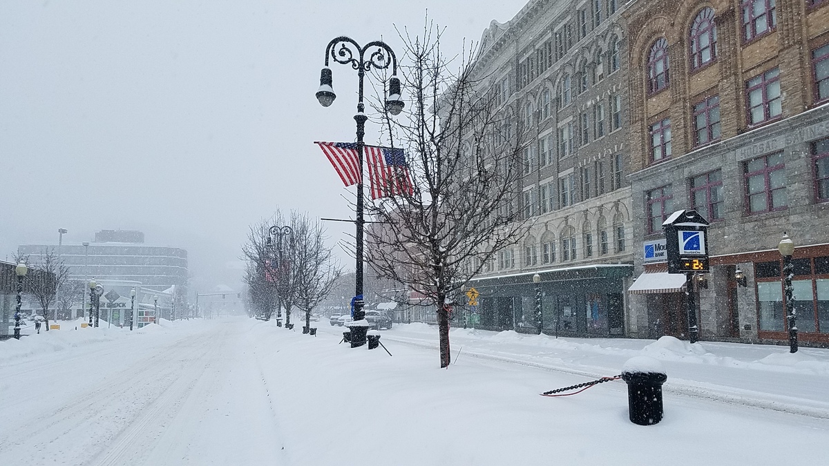
What a difference a day makes. Snow enthusiasts are still keeping a close eye on a storm developing for Thursday and Friday, the first two days of March that could bring up to a foot of snow to parts of the Berkshires.
The National Weather Service is now forecasting "Heavy wet snow and gusty winds expected. Total snow accumulations of 5 to 10 inches. Some gusty winds to 40 to 50 mph are possible during the afternoon into the early evening."

So as the saying goes, March could be coming in like a lion ... and then perhaps leaving like a lamb 31 days later, maybe bringing spring for good? We can hope!
Accuweather is continuing to hedge its bets a bit, calling for a wintry mix to fall overnight Thursday, but has upgraded to the potential for far more snow than rain. It give a 38 percent chance of up to 6 inches of snow.
WTEN is calling for mostly rain until Friday, changing to wet snow in higher elevations Friday morning and then snow for everyone later in the day on Friday. Parts of the Hudson Valley could get more than a foot.
SNOW FORECAST......
— Steve Caporizzo (@SteveCaporizzo) March 1, 2018
Based on the new data-we have to be careful...slight trends south and a bit colder......If this trend continues Thursday with new data, this will mean a quicker changeover to snow in the Hudson Valley and to points east and may mean boosting totals a bit. pic.twitter.com/mip4uq0Mm6
Here’s the snowfall forecast from @PaulCaiano for this next storm as of right now. pic.twitter.com/i5nwLL4KxL
— Asa Stackel (@AsaStackelNews) March 1, 2018