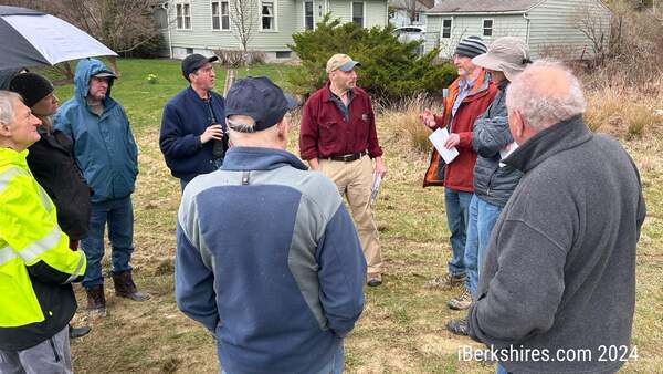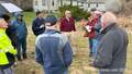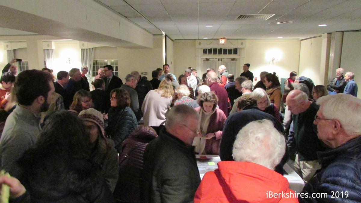
More than 100 Turn Out for Williamstown Meeting on Route 43
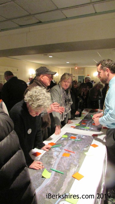
Residents were encouraged to leave their comments on sticky notes: green for aspects of the plan they like and red for aspects of the plan they did not.
Many told the state agency that one of the big problems on the state highway is, fittingly, winter weather.
"The southern section, which you're just repaving, has huge drainage problems," one resident said during a wide-ranging discussion about the plans for the state highway, also called Green River Road. "I'm alarmed that it's just going to be repaving. That's not going to solve the problems.
"If you allow the drainage problems to persist, it's going to damage the new paving."
Other residents concurred.
"[Repaving] is a waste of money," one said. "That road has been repaved twice that I can recall, and it will just fall apart. If there isn't a roadbed under there like you're doing on Water Street, it's a waste of time and money."
"In the past few weeks, there have been so many dangerous places," said a third resident. "There have been ice floes but no salt, no sand put on it, and that's the state that's responsible."
The state — specifically the Massachusetts Department of Transportation — organized the public information session at the Williams Inn to both inform the public about potential projects on the scenic highway and get feedback about potential remedies.
Officials made it clear from the outset that MassDOT is addressing the segment of Route 43 from Latham Street south and west to the junction with Route 7 in two different segments: the two-mile stretch from Five Corners to Hopper Road and the 2.3-mile stretch from Hopper Road to Latham Street.
The former (southwest) leg is targeted for repaving only, with the bids set to be advertised in November of this year for work to be done in 2020.
The latter (northeast) portion is closer to the center of town, more densely populated and in line for improvements to create safe access for pedestrians and bicyclists.
The entire stretch of Route 43, from Water Street to the Five Corners, has long been the subject of safety concerns given the number of joggers and bicyclists who use the narrow, twisting stretch of road along the Green River.
Several residents questioned why the addition of wider shoulders and/or bike paths was not being considered for the entire 4.3-mile section at issue. Engineers from Boston's HDR Inc., who are consulting on the project, indicated that while anything is possible with enough money, the Hopper-Five Corners leg presents so many physical constraints that it is a separate conversation from the Latham-Hopper segment under consideration.
For that "upper" piece of road, the engineers laid out three possible scenarios, each preserving the current 11-foot travel lanes in each direction.
Concept 1 adds a 1-foot shoulder and a 5-foot grass strip separating the road from an 8-foot shared use path for bikes and walkers.
Concept 2 would add a 5-foot sidewalk on the west side of Route 43 (the side with Taconic Golf Club) and two 5-foot bike lanes, one on each side.
Concept 3 would add wider shoulders (6 to 8 feet) on each side of the 22-foot travel lanes.
HDR's Jacqueline Davis told the crowd that the final product may utilize two or more of the three concepts over the 2.3-mile stretch from Latham to Hopper. Part of Wednesday's forum was the opportunity for residents to talk one-on-one with HDR engineers and leave written comments about what they did and did not like about each of the concepts, which were depicted on blown-up aerial images of the road.
Each of the concepts would widen the paved surface on the Latham-Hopper stretch — roughly by equal amounts, from 34 to 38 feet. The state has a 50-foot right-of-way on the road, HDR's Pete Stidman told the meeting.
A couple of residents wanted to know more about how the project could encroach on their properties, but Davis said it was premature to talk about easements, would be addressed in future public hearing before any work begins on the Latham-Hopper portion.
"If MassDOT has to take any property, whether permanent or temporary … your rights in that process are laid out to you at a subsequent public hearing," HDR's Richard Kelley said. "If your parcel is impacted in any way, the Right-of-Way [Bureau] is meeting with you."
While the engineers collected several dozen written comments on the three concepts, most of the comments from the floor of the meeting were generally encouraging for some sort of solution that adds pedestrian/bicyclist accommodation on the "upper" stretch of Route 43.
There was some dispute over how that accommodation could be achieved. Some residents argued that a defined pedestrian zone with a strip of grass separating it from the highway provides maximum safety. At least one argued that, in fact, the sidewalk solution is less safe for bicyclists, particularly at cross streets because the bikers will proceed through an intersection (with the right of way) unnoticed by motorists making right-hand turns until it is too late; bicyclists in a shoulder are more visible and more obvious to drivers, according to that resident.
The engineers promised to take into consideration all of the feedback as they go through a design process that is still in its early stages; the best-case scenario for putting the Latham-to-Hopper job out to bid is December 2020, MassDOT project manager John Gendall said after the forum.
One thing that the engineers and MassDOT officials in the room were not able to address on Wednesday was the one issue where there was seeming unanimity among the residents in attendance: The posted speed limits are too high on Route 43.
"I've lived on Water Street for 20 years," Alex Carlisle told the engineers and MassDOT officials. "I watch bikers and joggers go down that road, and I'm always worried. People choose to run down that road because it is scenic, and at the same time I always feel safety was an issue, but that mostly had to do with speed.
"Everyone in this room who lives on Water Street or Green River Road would agree with me that the No. 1 factor is speed. … The one factor we could use to really make the road safe, which is a matter of changing signage, is not allowed, which I find interesting."
Carlisle agreed that widening Route 43 south and west of Hopper Road is a serious engineering and fiscal challenge that would involve, at some points, adding a concrete wall on each side of the road.
"Is that realistic? I don't think it is," he said. "What is realistic to me is lowering the speed limits and getting rid of the passing zones."
The engineers at HDR encouraged attendees with additional comments on the three options presented for the Latham Street-to-Hopper Road project to send them to jacqueline.davis@hdrinc.com.
Tags: complete streets, MassDOT, public hearing, road project, state highway,