Residents Turn Out to Question Williamstown Cell Tower Proposal
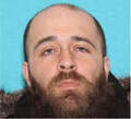
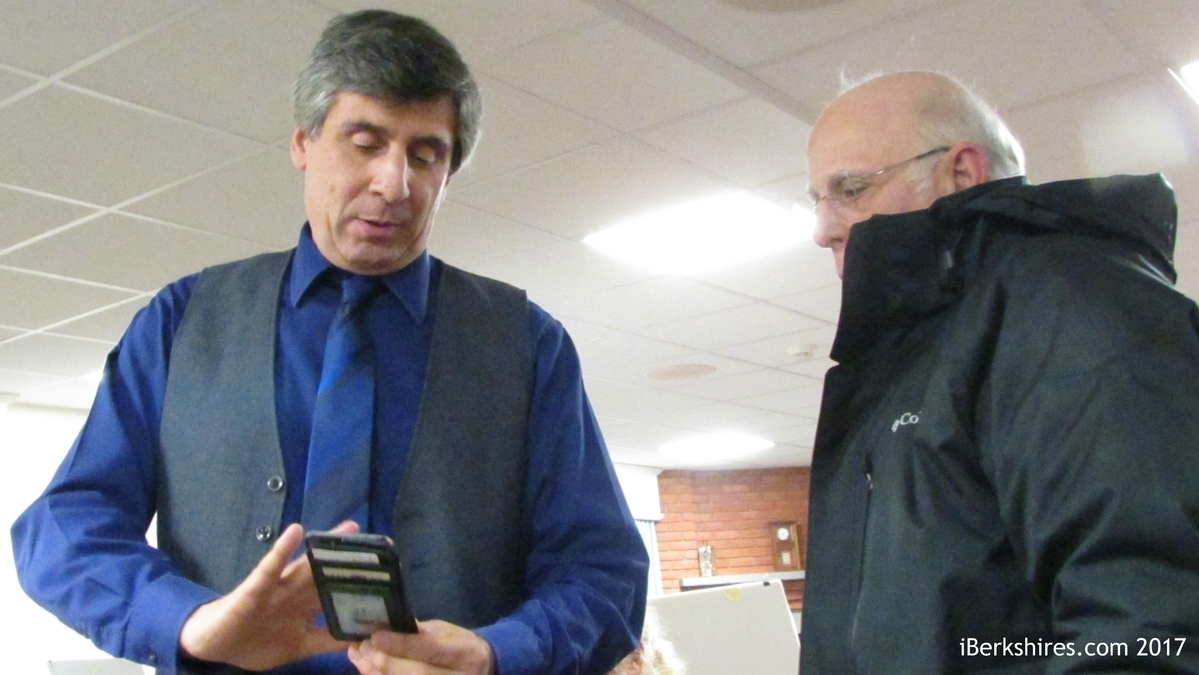
Jay Latorre discusses the sites that Verizon considered for a cell tower in Williamstown.
The telecom company has an application before the town's Zoning Board of Appeals that likely will be heard in December after months of continuations at the request of the applicant.
The company and its representatives gave a 20-minute presentation laying out their reasons for needing additional cell coverage along that stretch of Route 7 and why the location at the junctions of Routes 2 and 7 is the best available option.
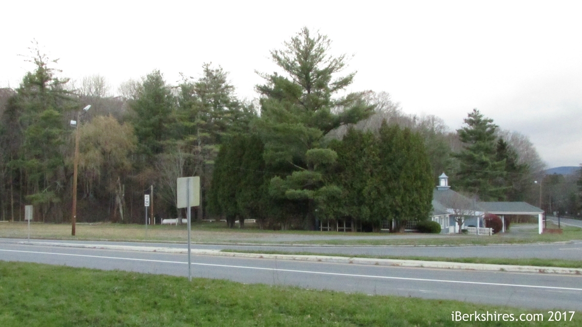
But most of the residents in attendance expressed concerns about the aesthetic impact of the pole, safety issues and whether the additional tower is even needed. They also focused on the possibility that one of the sites suggested by the town as an alternative to 1161 Cold Spring Road.
In September, 55 residents co-signed a letter to the ZBA protesting the application and relying heavily on the aesthetic requirements of the town's cell tower bylaw.
"The section of the bylaw concerning approval criteria makes it explicit that those criteria include whether or not there is undue adverse impact on ‘scenic views' and on ‘residential property values,' " the letter read in part.
Verizon's representatives acknowledged Thursday that the tower would be visible but said the tree line would help reduce the visual impact beyond the immediate location of the facility.
"As you drive by that intersection, you can look right into the site," Michael Liebertine of Killingworth, Conn.'s, All-Points Technology said. "Obviously, as you get into that area, it opens up visibility.
"What was helpful from my perspective is the overall footprint is fairly small."
Libertine explained how he used computer modeling and photos of a test with a 4-foot diameter red weather balloon flown at a height of 100 feet to assess the aesthetic impact of the proposed tower. He said there will be some visibility from residential properties, but he could not completely assess how much because he had to conduct his study from public roads. Along those roads, he found that the tower is visible from about a quarter mile away on Route 7.
"When you're talking yearlong visibility, it's very much isolated to less than a quarter mile around that immediate area, the intersection," Libertine said. "Visibility doesn't extend much farther north from the site. Obviously, as you go up Route 2 [to the east], there's some elevation, and that adds to visibility.
"I've been doing this for 20 years, and this is a very good site from an overall standpoint. Obviously, there are places where you can see it. I encourage you to look at what's on file with the town."
Resident Dr. Richard Sutter challenged the accuracy and honesty of Libertine's analysis.
"The pictures you show … are very deceptive," Sutter said. "The tower is 100 feet. The tallest tree over there is 55 feet tall. You can't tell me you won't see that [tower] all the way above those trees. They're almost twice the height of the tallest tree right there."
Sutter brought out his own photos from the day of All-Points Technology's weather balloon test that showed the balloon towering above the tree line.
Libertine explained that during the course of the test, the balloon did reach heights above the planned 100 feet but that the photos submitted with Verizon's application to the town were taken at the 100-foot point.
"I was there personally, and we put the string to 100 feet," Libertine said. "We show it, warts and all, sir. … We're not trying to hide a thing. We recognize it's in your neighborhood. We're not trying to deceive you."
Libertine said the nearby trees were surveyed and found to reach heights ranging from 85 to 100 feet.
"I'll tell you right now, you're absolutely wrong," Sutter said.
After the meeting, Sutter said he had prior experience with a Verizon application to build a cell tower in Windsor.
"They came and swore up and down that this certain location was, 'The only location that would work,' " Sutter said. "When the town said no, they found another location."
Sutter said the telecom giant was trying to save money by choosing the easiest possible site to place the tower, on previously developed land with easy access from the road.
The idea that Verizon could find a better place for the tower was raised in Thursday's meeting and referenced in the Sept. 21 letter.
"It is a matter of public record that Mr. Walter Cooper, an outside consultant hired by the town of Williamstown to review the application, has advised in his April 6, 2017 report that the application ‘does not clearly establish a need or demonstrate that this is the least obtrusive feasible option,' " the residents wrote to the ZBA.
On Thursday night, Verizon radio frequency engineer Jay Latorre explained that the Cold Spring Road location is the best to fill a 2-mile gap in coverage between Verizon antennae in South Williamstown and on the smokestack at Williams College to the north.
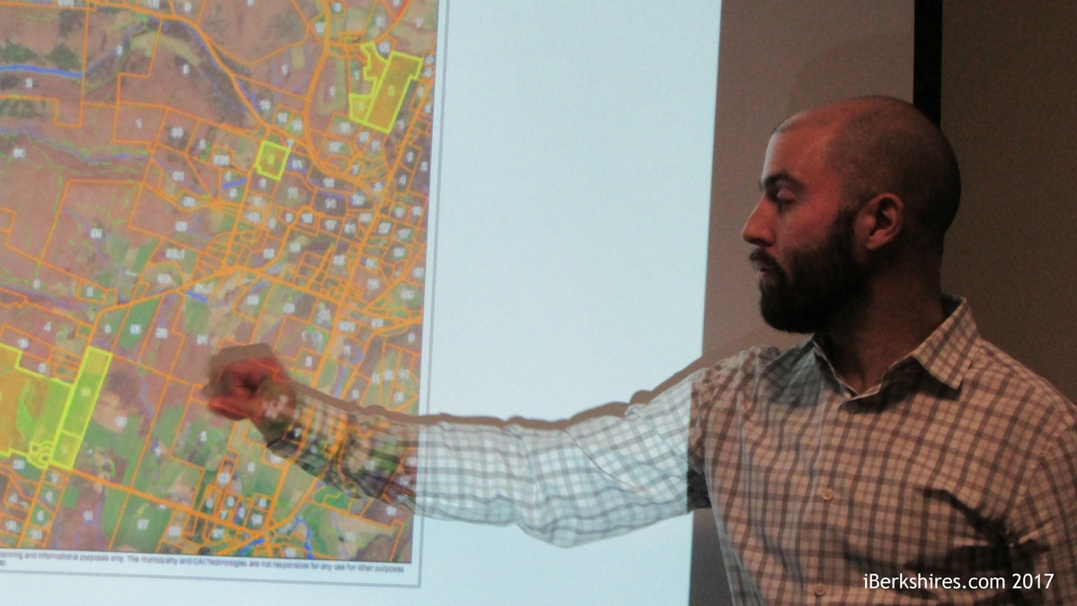
He said the town of Williamstown asked the carrier to look at several alternative sites but none were as effective and practical from an infrastructure standpoint.
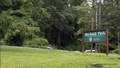
"The Bee Hill Road parcels were looked at in a little more detail because, as I reviewed them from a radio frequency standpoint, I found they might be able to work and were worth a second look," Latorre said. "Verizon conducted two or three site visits to evaluate a potential solution, and there were a number of different site constraints that ultimately led Verizon to determine it's not a suitable site.
"On my end … part of the challenge was topographical. This [Bee Hill Road] parcel is several hundred feet higher in elevation. Sometimes, that's great in wireless, but sometimes it means it overshoots the signal from other facilities in the area, and that leads to degradation in service."
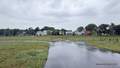
Other challenges at alternative sites included grades that were too steep to allow access roads and wetlands concerns. Verizon already has received an order of conditions from the Williamstown Conservation Commission for the tower, which would be built in the inner riparian zone of a nearby stream.
Karen Shepard asked the company's representatives if they would consider Bee Hill Road if its application is denied by the ZBA.
"I don't think so," said Latorre, who is based in East Hartford, Conn., and works on Verizon projects throughout Western Massachusetts. "The slopes are pretty challenging, in some places 25 or 30 percent, which makes construction of an access road difficult."
Shepard also asked why the company did not consider applying for a tower on the grounds of Mount Greylock Regional High School.
Latorre said Verizon already has strong coverage in South Williamstown, and a tower on the grounds of the school likely would not fill the gap all the way to where coverage from the Williams College smokestack antenna begins.
"My understanding is … a number of years ago another carrier had a proposal on that facility, and it was rejected," Latorre said. "So even if it could work [from a frequency standpoint], it seemed to have been vetted by another company."
Again raising arguments brought out in the September letter, Shepard asked about the loss of towers in a windstorm on Florida Mountain in 2014, implying that a similar collapse could be a safety hazard with a 100-foot tower built within 85 feet of Route 2.
Architect Doug Roberts of Hudson Design Group in North Andover explained that the pole planned at this site is different from the towers lost in the 2014 windstorm.
"What we're going to be doing is ordering the tower with an engineered fault in it to fold at the 70-foot level," Roberts said. "It doesn't fall over [entirely]. It sheds its wind load."
"It will fold in on itself," added Libertine of All-Points Technology.
Sutter pointed to another safety concern: the potential that an out-of-control vehicle coming down Route 2 could swerve to the left and into the tower and the liquid propane tank on site that will fuel a backup generator for the installation.
Sutter referenced a 2011 accident involving a tractor-trailer truck.
"I appreciate the feedback," Latorre said. "We'll see what additional measures we can take with design before we go back to the ZBA. I don't know what can be done with engineering to stop an 18-wheeler, but I'll ask Mr. Roberts if, in the case of a personal vehicle, how we can provide additional protection to the facility."
Even if the objections of residents of residents could be overcome, some came to Thursday's meeting unconvinced that Verizon needs to fill that 2-mile gap in cell coverage at all.
One attendee asked why the brief coverage gap on Route 7 even matters. Sutter pointed out the number of residences in the "dead zone" is minimal.
"Clearly, it's not being placed there for the benefit of Williamstown but for the benefit of transient auto traffic in and out of the area," Sutter said. "How do you justify how that negatively impacts the Southern Gateway into Williamstown?"
Latorre responded to the concerns by saying that a two-mile absence of coverage on a U.S. highway is not insignificant, and it is his job to make sure Verizon's customers have the service they expect.
"People moving around the town on a daily basis who live in town will equally benefit," Latorre said. "As you know, one of the things wireless services provide is the ability to make 911 calls. Recent data shows that three-quarters of all 911 calls generate from a cell phone as opposed to a land line. That shows how important that service might be in a, God forbid, life or death situation.
"Whether for convenience or an emergency, there are a number of examples I shared tonight about the importance of maintaining coverage along that 2-mile route. I feel as a representative of Verizon, my obligation is to reduce coverage gaps."
Tags: cell tower, Verizon,