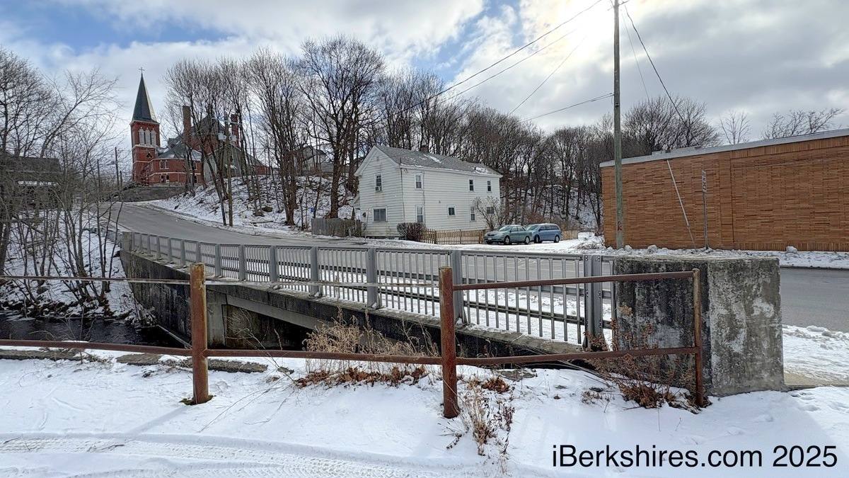
'Poor' Pontoosuc Avenue Bridge to Be Replaced
PITTSFIELD, Mass.— The Pontoosuc Avenue bridge has been in poor condition for a decade and will be replaced next year with improved pedestrian access.
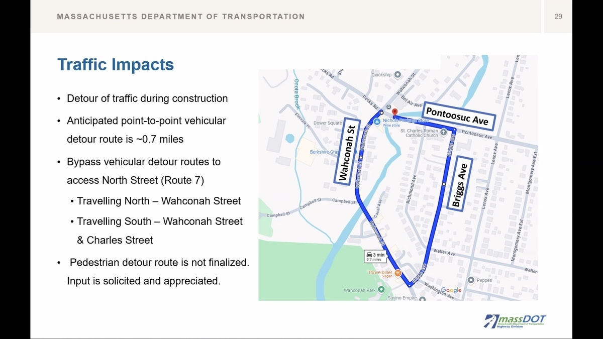
Officials assure the public that it is not in danger of failing before construction begins. A detour will use Briggs Avenue for through traffic between Wahconah Street and Pontoosuc Avenue.
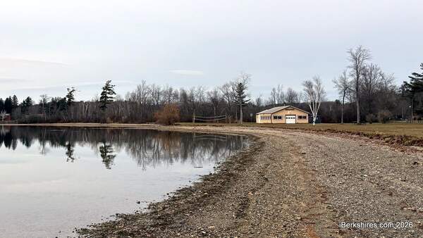
The Massachusetts Department of Transportation held a 25-percent design hearing virtually on Tuesday. Located next to the former Harry's Supermarket, the bridge extends over the West Branch of the Housatonic River and provides access from North Street to Wahconah Street.
"In November 2015, the bridge superstructure was determined to be in poor condition as part of its routine bridge inspection," explained Shannon Beaumont, senior project manager with Fuss & O'Neill.
"The project was subsequently scheduled for funding by a MassDOT for rehabilitation or replacement, and the project kicked off in October of 2021."
The $7.7 million project will be funded through the 2026 Transportation Improvement Program for the Berkshire Metropolitan Planning Organization. Construction is expected to begin in fall 2026 and continue for about a year.
The aim is to provide a new bridge that meets current requirements, enhances existing multimodal access with bike lanes and sidewalks, maintains or improves the existing bridge opening, and avoids unnecessary abutter impacts by minimizing changes to the alignment and vertical profile.
An evaluation was done on the strength, stability, and condition of the more than 30-year-old structure. The concrete abutments are in fair condition with adequate strength but the stability of the existing abutments don't meet current design standards and a full bridge replacement is required.
Beaumont explained that the existing bridge was constructed with details that do not meet current design standards. Water has leaked through the concrete seams, causing deterioration of the concrete and steel elements and scour holes are causing inadequate footing embedment.
"It is important to note that although the bridge is listed in poor condition, it is not endangerment of failure," she added.
"MassDOT will continue to perform annual bridge inspections to ensure the bridge continues to perform adequately until construction commencement."
The preferred alternative slightly widens the bridge to accommodate a 5-foot-wide bike lane next to the 10-foot travel lane. Sidewalks are proposed to be between 5 and 6 feet wide.
"We've adjusted the width of these sidewalks to meet the minimum required 5 1/2-foot sidewalk width which allowed us to provide bike lanes with only a slight increase in overall bridge width," Beaumont said.
"We're also proposing what is called an early exit bicycle box at the intersection, which allows bicyclists safe transportation through the intersection. As part of the proposed safety improvement, we are extending the existing guardrail from the bridge to the Pontoosuc and Wahconah intersection."
This blocks access to the former Harry's parking lot from Pontoosuc Avenue but is said to improve vehicular safety.
It is recommended that the bridge be fully closed during construction. A 0.7-mile detour will use Briggs Avenue as a connection between Wahconah Street and Pontoosuc Avenue.
"We anticipate that the majority of people accessing Pontoosuc Ave currently are trying to access North Street or Route Seven," said Beaumont.
"The anticipated detour for those traveling north is to utilize Wahconah Street all the way to Route Seven. For those traveling south, the anticipated detour to Route 7 will be Wahconah Street to Charles Street. A pedestrian detour route will likely be similar to what is shown here for the point-to-point route but it is not finalized."
The city will be responsible for acquiring necessary rights in public land for design and construction. Fee takings, permanent easements, and/or temporary construction easements may be needed.
Affected property owners will be contacted by the city.
Comments on the project can be sent to MassDOTProjectManagement@dot.state.ma.us or to:
Carrie Lavallee, P.E., Chief Engineer
MassDOT
10 Park Plaza
Boston, MA 02116
Attention: HIGHWAY DIVISION, PROJECT FILE NO. 612168
Tags: bridge project, MassDOT, public hearing,