MassDOT Plans Replacement of South St. Bridges
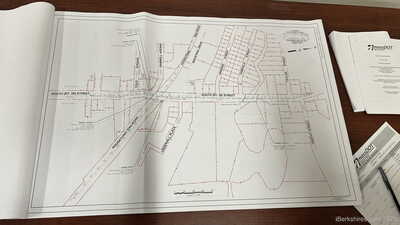 |
| The project, which is funded 80 percent federally and 20 percent by the state, covers an area of about 1,760 feet from Cole Avenue to just south of Taylor Street. |
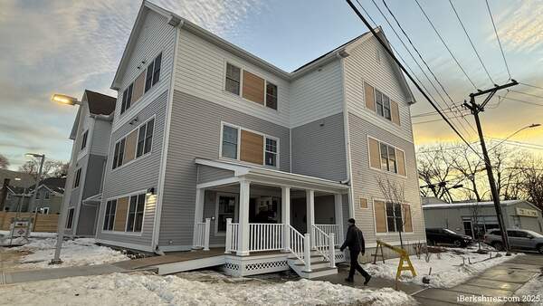
PITTSFIELD, Mass.— The state will replace two structurally unsound bridges on South Street in a couple of years, possibly resulting in a brief closure of the main route.
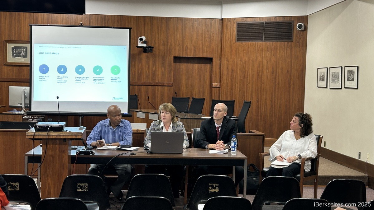
Last week, the Massachusetts Department of Transportation held a 25 percent design hearing for the $18.5 million project. It will replace deteriorating bridges that carry South Street over the Housatonic Railroad and Housatonic River.
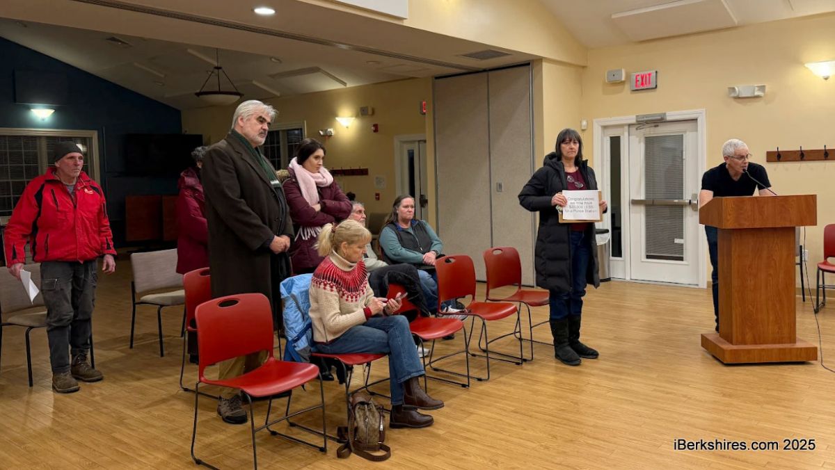
"Please keep in mind that the project we are presenting to you tonight is still in the design stage," Project Manager Harry Adolphe told a handful of community members.
The project, which is funded 80 percent federally and 20 percent by the state, covers an area of about 1,760 feet from Cole Avenue to just south of Taylor Street.
One lane of traffic in each direction will remain open for most of the construction, but a short-term detour may be needed. Traffic would be directed down Crofut Street to Pomeroy Avenue and then to Holmes Road, a nearly six-mile redirect.
Pedestrian access will be retained through temporary foot bridges.
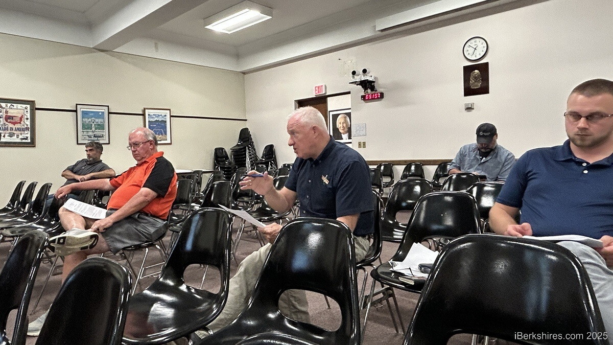
David Sutherland, president of Dettinger Lumber, expressed traffic safety concerns near the project area. The scope of work includes widening the roadways and new accessible pedestrian signals at the Gamwell intersection.
The new bridges will have two 11-foot travel lanes, two 5-foot shoulders/bike lanes with 2-foot buffers, and two at least 5-foot-wide sidewalks.
"I don't think there's anything that can be done about this, but the stoplight at Gamwell Ave., which is the further end of this project, is the site of many car accidents," he explained, adding that vehicles speed along Route 20/7 and collide with traffic backed up at the stoplight.
"…It happens, I would say, at least once a month."
He was informed that the work will improve the vertical curve of that area and said, "Anything would help."
The state will have to notify abutters at least 14 days in advance of a road closure, and engineer Carol Rogers reported it would happen during "off-peak hours and for a very short duration." It was mentioned that additional abutter outreach could be built into the contract so business owners can make proper arrangements for the road closure.
Cole Avenue resident Frank LaRagione asked where people will turn around if they accidentally try to take the closed route. Rogers said there will be "advanced signage" for the detour if there is a closure.
"I have no problem with the project. I think it's a great improvement," LaRagione said.
"…It’s just safety is my biggest concern with people cutting through side streets because they think they can go through because they don't know the area, and now people get hurt."
The bridge over the railroad has inadequate clearance, a deteriorated and corroded deck, and a rusted and cracked superstructure. The bridge over the river has an inadequate hydraulic opening, similar conditions on its deck, rust and section loss on the superstructure, and "advanced" concrete deterioration.
The project will require permanent and temporary easements, which are not included in the cost. The MassDOT Right of Way Bureau is responsible for acquiring all the necessary rights on private and public lands.
Environmental permits will be required, but the bridges are not historically registered. They were constructed at the turn of the 20th century and reconstructed in the 1930s.
The team anticipates 75 percent and 100 percent design hearings in 2026, environmental and ROW approvals in the winter of 2026/2027, and advertising for the bid in February 2027.
Tags: bridge,