Pittsfield Council Approves New Ward Map with Precinct Changes
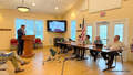
PITTSFIELD, Mass. — The City Council on Tuesday approved a new city ward map with precinct changes that will affect 174 residents.
This is done every 10 years, according to U.S. Census data, so that shifts in population will never unfairly increase or decrease a voter's voice in government.
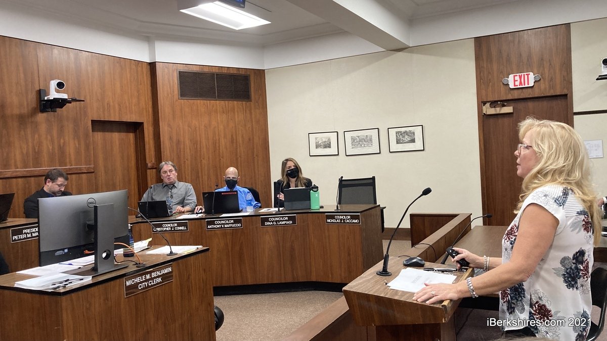
During her presentation to the council, City Clerk Michele Benjamin pointed out that there will no longer be two state representatives in Pittsfield as state Rep. Paul Mark won't be representing Ward 1 because of redistricting.
State Rep. Tricia Farley Bouvier will take over that area and, therefore, represent all of the city.
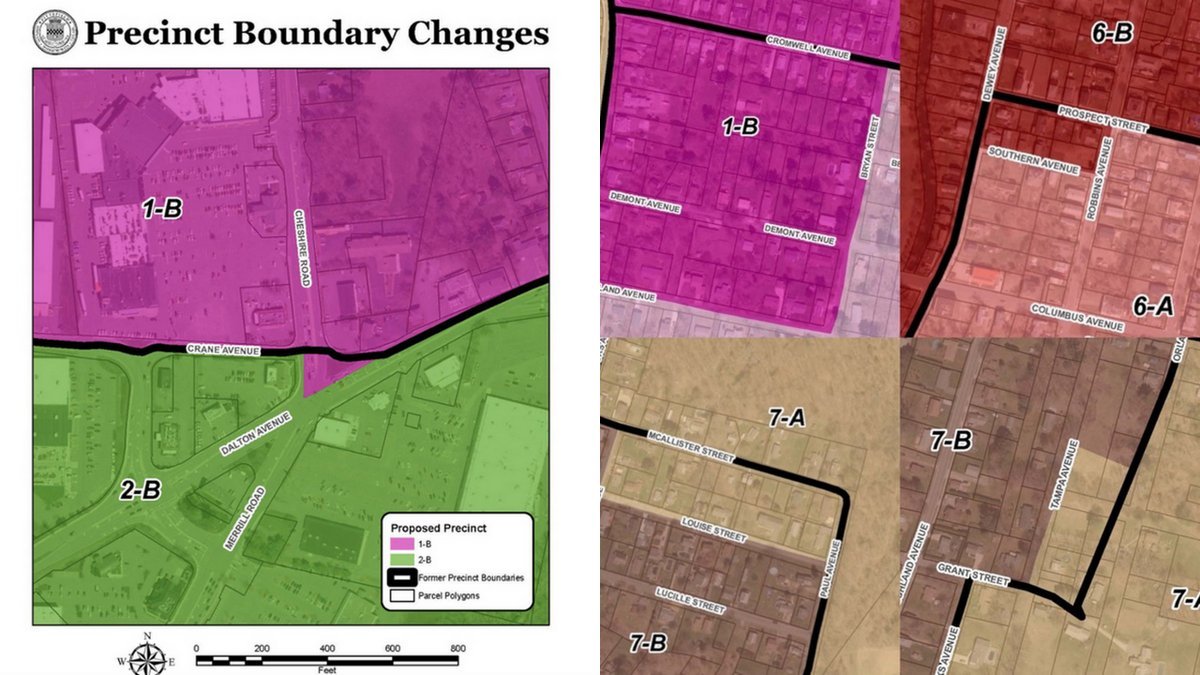
The largest precinct change occurred in Ward 1, where 111 residents were moved from 1A to 1B. The border now extends to Garland Avenue and Bryan Street.
Twenty-eight residents were moved from Ward 6A to 6B, with the precinct border now following Robbins Avenue to Southern Avenue.
Ward 7 had changes in two different areas that affected nine and 26 residents. The changes moved the residents from Ward 7B to 7A, with the precinct border following Vivian Avenue to Louise Street in the first alteration and following Grant Street to Tampa Avenue in the second.
"The reason for this change was it used to just clearly go across someone's property," Benjamin said about the former precinct border that went from Orlando Avenue into private property. "So we cleaned it up with recommendations by the state."
The city did not see any ward boundary changes and Benjamin said Pittsfield was fortunate to only lose 810 residents.
The 2010 Census population was 44,737 and the and 2020 number is 43,927.
Benjamin explained that wording to the legal boundaries in Ward 1 and Ward 2 was cleaned up through working with the city's GIS Coordinator Ryan Grennan.
At the intersection of Dalton Avenue and Cheshire Road, the border used to run right across Cheshire Road. In the updated version, the border follows Cheshire Road and drops down to Dalton Avenue, and then goes back up Dalton Avenue.
The affected area does not have any residents living in it therefore will not displace any voters.
The city also eliminated some duplicate descriptions to make the boundaries more accurate.
This year's municipal election will be based on the current ward map, as the new one will take effect on Dec. 31, 2021.
Tags: voting,