image description
A depression in a Williamstown driveway has basically been a pond throughout the month of July

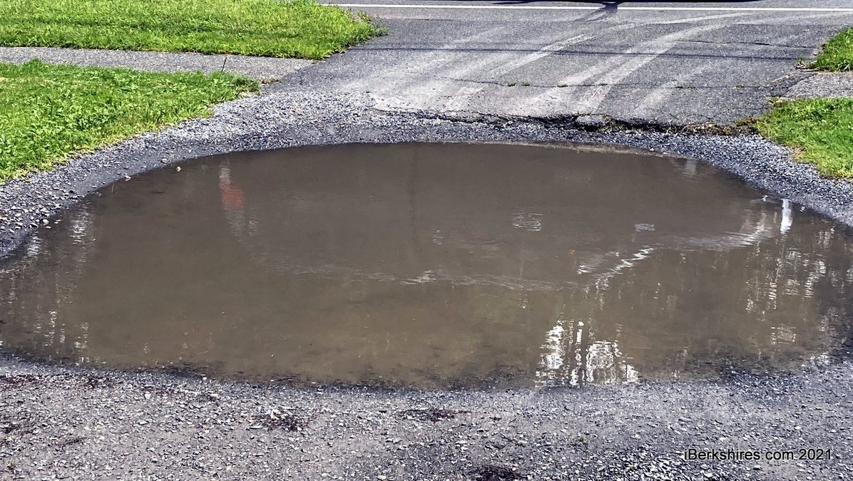
July 2021 Has Been Wettest Month in at least 130 Years

Staff ReportsPrint Story | Email Story
WILLIAMSTOWN, Mass. — If you thought that there has been more rain than usual this month, you aren't imagining things.
 
According to Jay Racela, environmental analysis lab supervisor and lecturer at Williams College, this July is the wettest month since record-keeping started 130 years ago.
 
More than 14 inches of rain has fallen in Williamstown at Hopkins Memorial Forest (Station 1), operated by Williams College as part of a network of instruments that provide data for teaching and research. 
 
The previous monthly record was 13.7 inches, in October 2005. The long-term average rainfall for July is 4.2 inches. According to the National Weather Service, the monthly record for the Albany, N.Y., region was 13.68 inches in October 1868.
 
Racela said news reports suggest that after a relatively dry spring, locations in the central and Southern Berkshires have received even more rainfall than Williamstown. 
 
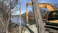
Excessive moisture has interfered with outdoor events, ruined some crops, flooded basements and small streams and produced the highest flow recorded in 72 years on the Green River in Williamstown. 
 
The flood, on July 9, did not cause much property damage along the Green River, but flooding was widespread in the tristate area downstream from the confluence of the Green and the Hoosic Rivers.

Tags: rain,   weather conditions,   

If you would like to contribute information on this article, contact us at info@iberkshires.com.

Nor'easter Set to Drop Foot of Snow Over Berkshires

Update on the powerful Nor'easter set to drop up to a foot of snow over the region. This come right on the tail Friday's storm that dropped up to 6 inches in some areas. 
 
The National Weather Service in Albany, N.Y., has shifted the winter storm warning issued from Saturday a few hours later; it now begins at 4 p.m. on Sunday  but still runs through 7 p.m. on Monday for the Berkshires, eastern New York, Southern Vermont and northern Connecticut.
 
Heavy snow expected with total accumulations between 8 and 14 inches with some locally higher totals possible over the high peaks of the Catskills AND the Berkshires. Winds could gust as high as 50 mph. 
 
The forecasted "bomb cyclone" is lining up to hit New York City with its first blizzard in a decade, but Western Mass will feel some of its effects.  
 
The Berkshires will see flurries during the day but the Nor'easter will make its entrance later in the evening, first in South County between 5 and 8 and then moving north.
 
Vermont schoolchildren will be starting their winter vacation Monday but Berkshire kids will be headed back to school. But they might be getting an extra vacation day — Greylock Snow Day still has an 80 percent probability for of delays, but upgraded the chance of a snow to 90 percent for South County and 75 percent for north. 
 
With the storm sweeping in by Sunday afternoon, we'll be on the lookout for any cancellations. This post will also be updated if new information becomes available. 
 
View Full Story

More North Adams Stories