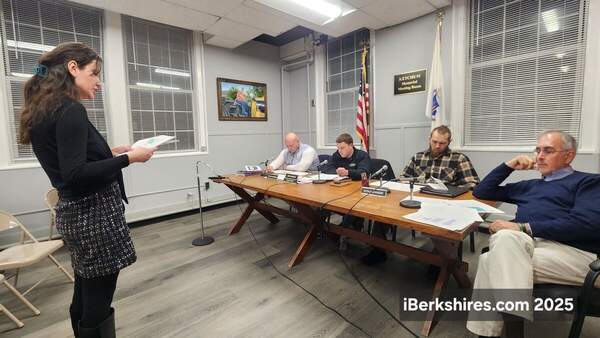
More Snow, Sleet Expected Wednesday Night
.jpg)
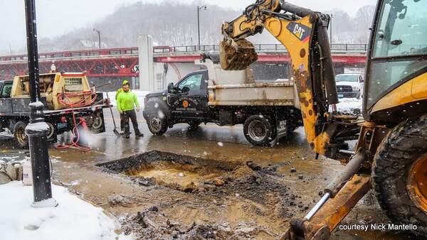
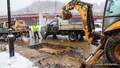
This winter's constant onslaught of cold and precipitation continues with more sleet and snow expected overnight on Wednesday.
The National Weather Service in Albany, N.Y., has issued a winter storm advisory beginning at 7 p.m. on Wednesday through 1 p.m. on Thursday.
The forecast is for mixed precipitation with total snow and sleet accumulations between 1 and 4 inches, the higher end likely in Southern Vermont, and ice accumulations up to 2/10 of an inch. Winds will be gusting as high as 35 mph.
This effects all of the Berkshires, Southern Vermont, eastern New York and northwest Connecticut. So plan on slippery road conditions for Thursday's commute.
Our friends at Greylock Snow Day are predicting greater confidence in a delay rather than a snow day for schools.
Some school districts are already scheduling extra days in June so are hesitant to cancel school altogether. Delays had been expected for last Thursday's storm but forecast had superintendents canceling the evening before as a precaution.
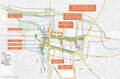
A "train of storms" will run cross country over the next week or so, bringing snow to New England every two to three days.
Friday is expected to be bright and sunny and cold but more snow flurries are expected over the weekend, and more frigid temperatures will return for Presidents Day.
The pattern across the United States that began this train of storms last week will remain in place for much of this week. This will continue to support storms being near New England every 2-3 days. Details: #MAwx #CTwx #RIwx #NHwx #MEwx #VTwx www.newenglandstormcenter.com/post/pattern...
— New England Storm Center (@nestormcenter.bsky.social) February 11, 2025 at 8:52 AM
[image or embed]
Tags: snow & ice,